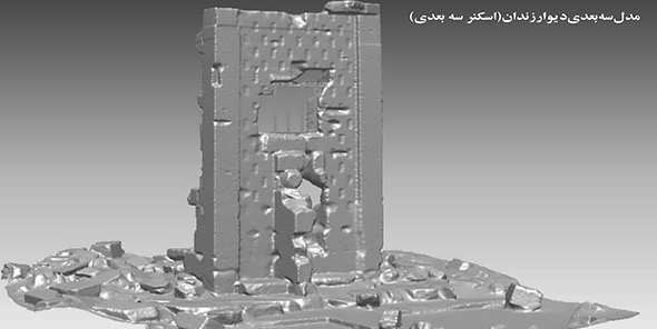
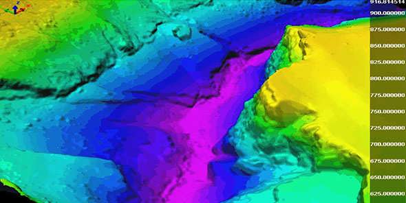
Photogrammetry
Photogrammetric Mapping has been undertaken at Rassadiran since 1959. Photogrametry in Rassadiran seriously developed, actually we have a wide range of activities in this
domain such as:
|
|
|
-Urban -Topographic |
|
-Profiles -Grids -Dem |
|
-Large Scale Plans -Architectural -Dem |
|
-Aerial Photographs -Terrestrial Photographs -Satellite imageries |
|
-3D laser scanner -Optical scanner -Stereo Photo |


