About Us
Rassadiran Surveying Co.
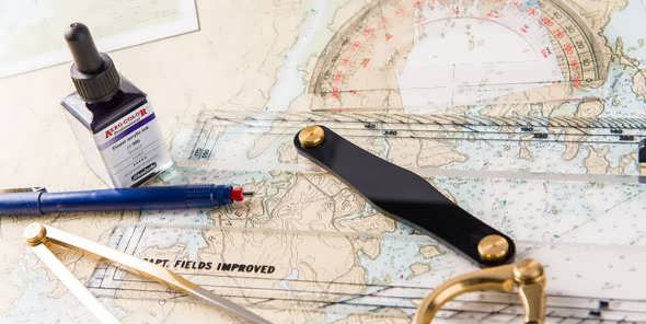
In 1956 a Surveying Company named Cherkate-e Nesbi Naghsheh Bardari (CNNB) was founded in Iran by Dr. Eng. Taghi Riahi Dehcordi and his partner, with the objective of providing professional surveying services in Iran. CNNB successfully carried out various important projects for the next decade, at which time, after a major restructuring of the company’s organizational chart, the name of Rassad Surveying Company (RSC) was adopted in September 1967. Under this name, Rassad expanded and developed its activities in different new branches of Surveying Engineering.
These included:
| – Close Range Photogrammetry – Terrestrial Photogrammetry
– Hydrography – Ortophoto Mapping – Microgeodesy |
Also during this period, with its heavy emphasis on Training technical skills and utilization of modern systems , starting in 1967, Rassad initiated the upgrading of its equipment and commenced sending staff engineers and technicians to European Universities- France (ENSG) and Neitherlands (ITC) Swiss Ecole Photogrammetry Sante Callen -for advanced studies. Over 30 members of Rassad’s technical staff were trained in this program. It was mainly these initiatives that gave Rassad the potential to execute projects far more important and comprehensive than it had done up to that date.
In late 1981, following major strategic corporate decisions, a comprehensive reorganization of the company was undertaken, due to PBO regulation (Consulting Engineers) and the company’s name was changed to RASSADIRAN SURVEYING COMPANY. Rassadiran is presently considered one of the most efficient and competent Surveying Company in Iran, particularly in the fields of Geodesy, Topography, Photogrammetry, Hydrography and GIS. The below chronology of the types of projects undertaken by Rassadiran, demonstrates the company’s growth and increasing potential:
|
Since |
1956 |
Conventional Land Surveying |
|
AT |
1959 |
Photogrammetry |
|
AT |
1966 |
Terrestrial Photogrammetry |
|
AT |
1970 |
Architectural Photogrammetry |
|
AT |
1972 |
Bathymetric Survey |
|
AT |
1976 |
Orthophoto Mapping |
|
AT |
1989 |
Digital Mapping |
|
AT |
1996 |
Touristic Mapping |
|
AT |
1998 |
GIS Design and Implementation |
|
AT |
2000 |
Industrial and Control Survey for Buildings and Structures |
|
And IN |
2006 |
3D laser scanning |

Some of the surveying services provided for the first time in Iran are as below:
With experienced field and office staff, which equipped with modern electronic surveying systems, Rassadiran has been involved in the execution of a wide range of major projects in Iran and abroad. |
Rassadiran is selected as Highest quality surveying Co. for years of 2009 and 2010 in Iran.
| Today’s Organization of Rassadiran is based on providing the widest range of surveying services. Each section has a dedicated director and for each project there is an assigned Project Manager. |
Certification
Iranian government certificate :
- -Land surveying – Top level
- -Photogrammetry Mapping -Top Level
- -Hydrography
- -GIS & RS
other Certificate:
- -Environment Management system ISO 14001:2004
- -Occupational Health Safety Management OHSAS 18001:2007
- -Quality Management System ISO 9001:2008
- -SAMTA – NGO Certificate