Equipment
Equipment
At present, Rassadiran is well equipped with most modern electronic instrument for land surveying, Photogrammetric and Hydrographic survey, and also necessary Software’s for job execution.
1) FIELD SURVEY EQUIPMENTS
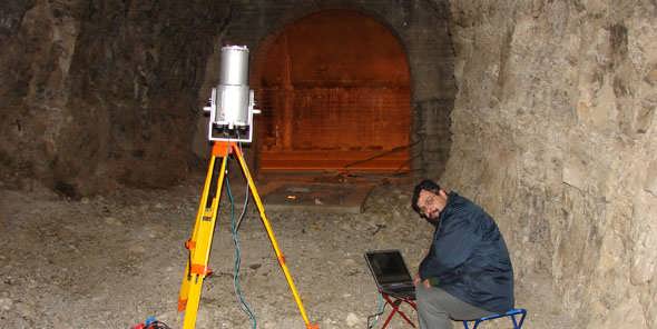
- 1 Set– Riegl 3D Laser Scanner LMS-Z420i
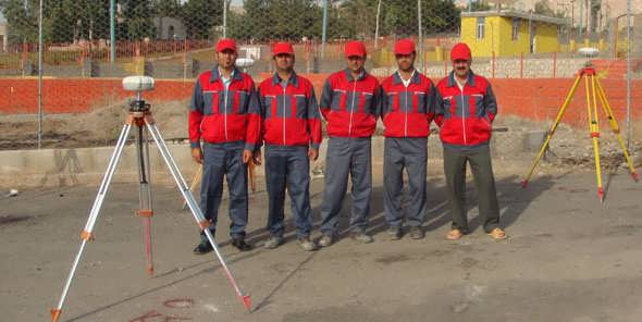
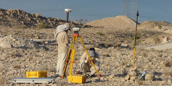
- 4 Set-Thales Dual frequencies GPS receivers with UHF Radio Transmitter models 6502 SK/MK
- 2 Set– Sercel Dual frequencies GPS receivers with UHF Radio Transmitter models 6002 SK/MK
- 6 Set– Hauce Dual frequencies GPS receivers with UHF radio
- 5 Set-Wild T2 Theodolites
- 10 Set-Leica, Trimble total station
- 2 Set– Zeiss NI-1,N-002,Precise Leveling Instruments
- 12 Set– Wild NA2,NAK2 & Zeiss NI2 Leveling Instruments
- 3 Set– Zeiss DINI 22 Digital Leveling Instruments
2) PHOTOGRAMMETRIC EQUIPMENTS
- 18 Station– Triangulation, plotting ,paradeyes and photomod digital Softwares
3) HYDROGRAPHIC INSTRUMENTS
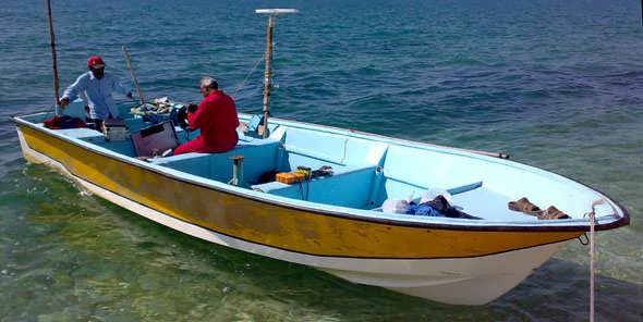
- 1 Set– Navisound 520 dual channel enhanced digital Echosounders
- 1 Set– Navisound 100 Digital Echosounder
- 1 Set– Marimatech E-SEA Tide Gauge
- 1 Set– Aandreaa Doppler Current Sensor 4100 + Display unit 3315
- 1 Set– Crab Sampler
- 1 Set– Navisoft 100 and Hypack Software
Land Surveying
